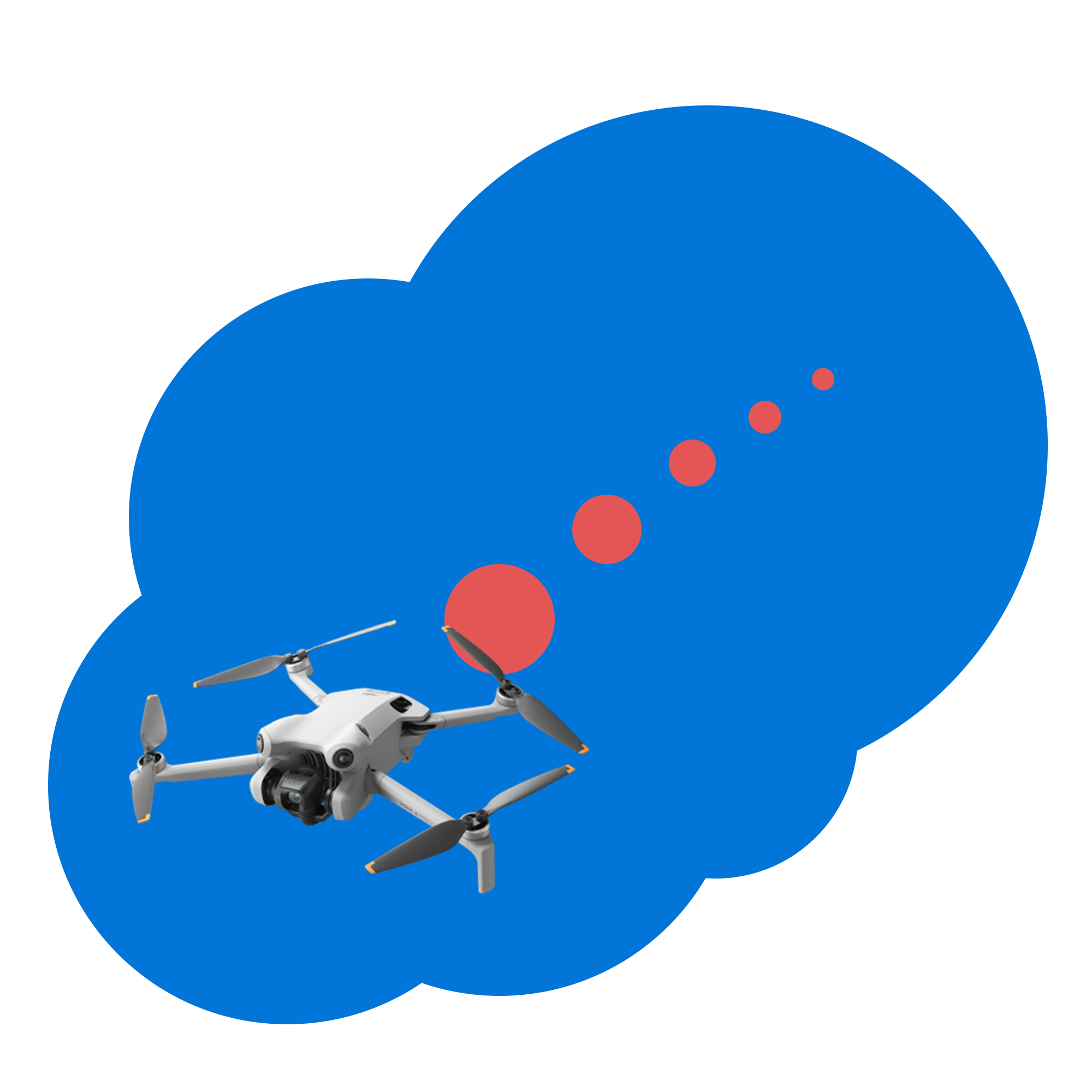
Autonomous flights on modern drones
Hands off 3d mapping and mission planning on your DJI Mini 5/4 Pro, Mavic 4 Pro, Air 3/3S, or Mavic 3/3P/3C drone
Large Scale Mapping
Capture and map large swaths of land from your DJI Mini 5/4 Pro, Mavic 4 Pro, Mavic 3, or Air 3 drone.
Points of Interest
Create points of interest to optimize photogrammetry model scanning.
Video Tutorials
Tutorials to create custom flight plans from videography to mapping.
From a source you can trust
Developed and run exclusively by drone YouTuber Jays Tech Vault with over 220,000 subscribers. Jay has a masters degree in Computer Engineering from North Carolina State University. WaypointMap has been vetted and won awards at NC State in addition to being part of the Andrews Launch Accelerator.
Start For Free
Industry Recommended
"Simple as creating a few points"
Dylan Gorman 76.9K subscribers
"You can accomplish things such as creating a 3D model or orthomossiac"
All Streamed Up
"These pieces of software really useful there really fun"
Tim Rundle-Spiers